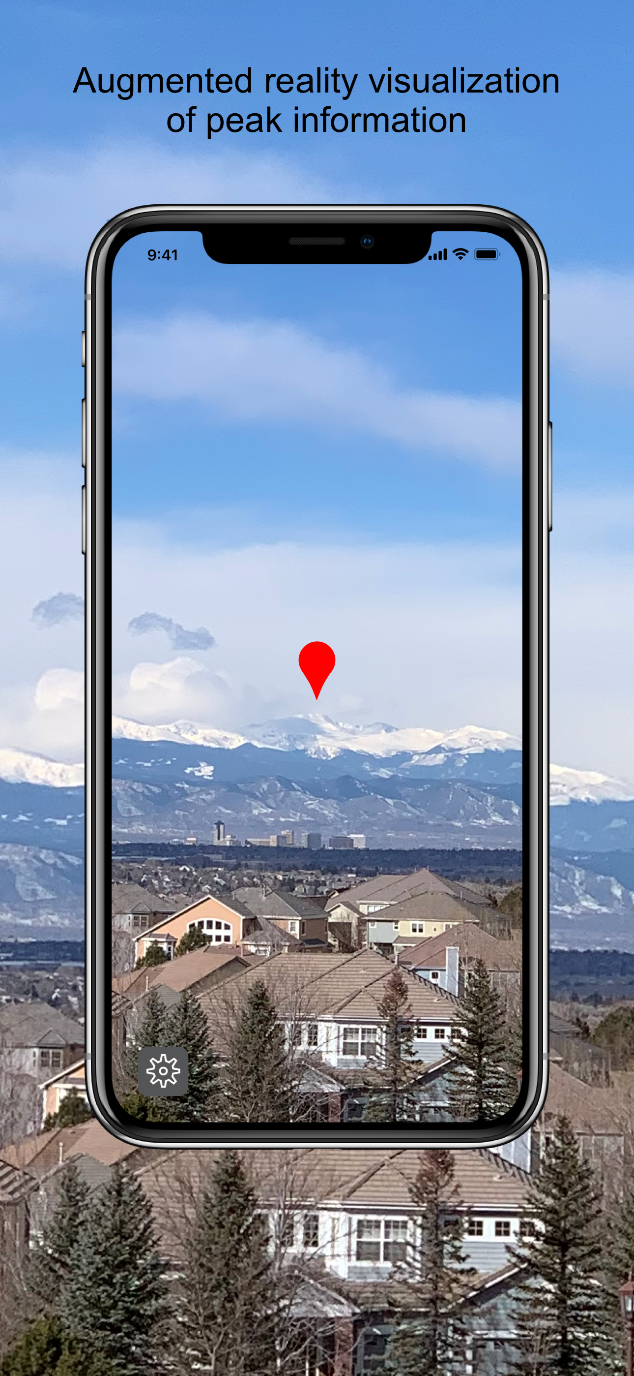
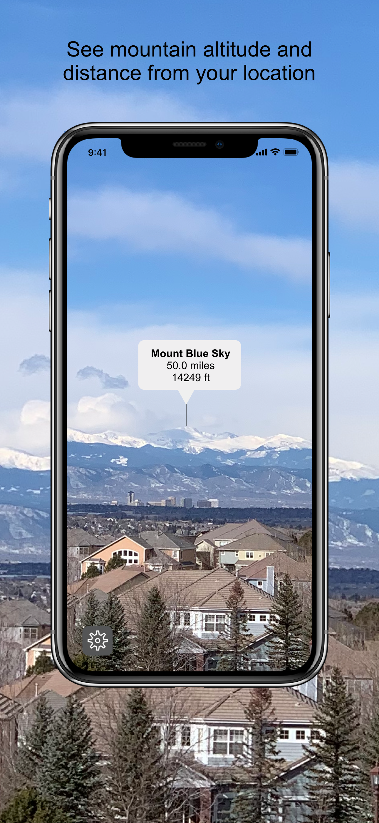
Point your iPhone at any mountain skyline. SummitPeek uses augmented reality to instantly identify what you're looking at — name, altitude, and distance, right through your camera. 70,000 peaks across the US and Canada. Works fully offline.
Download on the App Store
SummitPeek places AR pins directly on the summits visible through your camera. As you sweep the horizon, the overlay tracks each mountain in real time using your GPS position, compass heading, and gyroscope.
Tap any peak pin to see its full name, elevation, and how far it is from where you're standing. Whether it's Mount Blue Sky at 14,249 ft or a closer ridge you've always wondered about, SummitPeek has the answer.
Live AR pins align precisely with peaks visible through your camera using perspective projection from your exact GPS location, compass heading, and device orientation. No internet connection required.
See each peak's altitude and your distance from it at a glance. Contacts miles and feet or kilometers and meters — switch in settings to match your preference.
70,000 peaks bundled right in the app — all 50 U.S. states, Puerto Rico, and every Canadian province. From the Colorado Rockies to the Alaska Range. No internet connection ever required.
"I've used this app so many times on various hikes throughout Colorado and have found it extremely helpful!"
"This is a great Augmented Reality app! Simple, straightforward, and does exactly what you want — finds the mountains near you!"